Hilton Head Island Map: Areas, Beaches and Roads
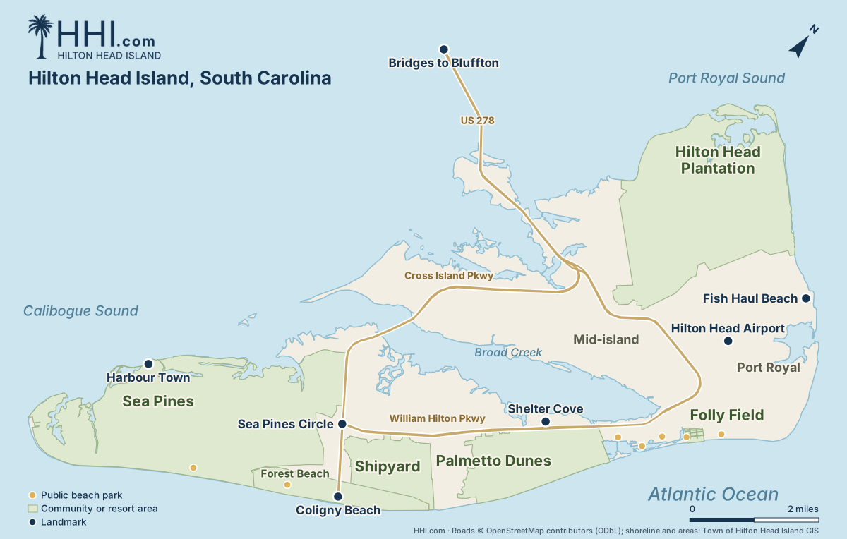
Hilton Head is a foot-shaped island 12 miles long: Sea Pines at the south tip, beaches down the ocean side, and US 278 in from Bluffton.

Your Hilton Head Island visitor guide
Every guide below is free on HHI.com. Type the address into your phone, or search HHI.com.
Public beach parks
- Sea Pines Beach Club: Sea Pines residents & rental guests only
- Alder Lane Beach Access: 22 paid spaces
- Coligny Beach Park: Free lot
- Singleton Beach: No public lot
- Burkes Beach Access: 246 paid spaces
- Driessen Beach Park: 168 paid spaces
- Folly Field Beach Park: 51 paid spaces
- Islanders Beach Park: 25 paid spaces
- Fish Haul Beach Park: 93 paid spaces
- Forest Beach: No public lot
Area guides
- Sea Pines
hhi.com/sea-pines - Harbour Town
hhi.com/sea-pines/harbour-town - Coligny Plaza
hhi.com/coligny-plaza - Shipyard
hhi.com/shipyard - Palmetto Dunes
hhi.com/palmetto-dunes - Shelter Cove
hhi.com/shelter-cove - Hilton Head Plantation
hhi.com/hilton-head-plantation - Daufuskie Island
hhi.com/daufuskie-island - Bluffton
hhi.com/bluffton
Golf
- Every golf course
hhi.com/golf/golf-courses - Golf deals
hhi.com/golf/deals - Harbour Town Golf Links
hhi.com/golf/golf-courses/harbour-town-golf-links - Club rentals
hhi.com/golf/club-rentals - Driving ranges
hhi.com/golf/driving-ranges
Things to do
- Things to do
hhi.com/things-to-do - Deals and discounts
hhi.com/things-to-do/deals - Boat and dolphin tours
hhi.com/things-to-do/boat-tours - Biking
hhi.com/things-to-do/biking - Water sports
hhi.com/things-to-do/water-sports - Live music
hhi.com/things-to-do/live-music - Rainy day ideas
hhi.com/things-to-do/rainy-day - Events this month
hhi.com/events
Dining
- Restaurant guide
hhi.com/dining - Seafood restaurants
hhi.com/dining/seafood-restaurants - Breakfast
hhi.com/dining/breakfast - Family-friendly restaurants
hhi.com/dining/family-friendly-restaurants - Ice cream
hhi.com/dining/ice-cream
Getting around
- Getting around
hhi.com/plan-your-trip/getting-around - Free Breeze trolley
hhi.com/plan-your-trip/getting-around/trolley - Parking
hhi.com/plan-your-trip/getting-around/parking - Golf cart rentals
hhi.com/plan-your-trip/getting-around/golf-cart-rentals - Getting here
hhi.com/plan-your-trip/getting-here
Beach days
- Beach guide
hhi.com/beaches - Printable beach map
hhi.com/beaches/map - Tide chart
hhi.com/beaches/tides - Dog-friendly beaches
hhi.com/beaches/dog-friendly-beaches - Beach chair rentals
hhi.com/beaches/beach-chair-rentals
Places to stay
- Places to stay
hhi.com/places-to-stay - Vacation rentals
hhi.com/places-to-stay/vacation-rentals - Resorts, hotels and inns
hhi.com/places-to-stay/resorts-hotels-inns
Good to know
- Weather
hhi.com/plan-your-trip/weather - Live webcams
hhi.com/webcams-in-hilton-head-island - Grocery stores
hhi.com/plan-your-trip/grocery-stores - Pharmacies
hhi.com/plan-your-trip/pharmacies - Hospitals and urgent care
hhi.com/plan-your-trip/hospitals - Dog-friendly Hilton Head
hhi.com/plan-your-trip/dog-friendly-hilton-head
Hilton Head Area Map: The Island’s Neighborhoods
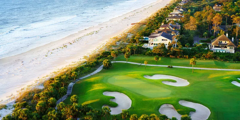
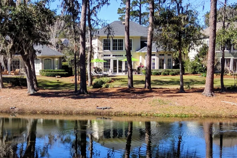
The gated resort at the island’s south tip: Harbour Town, the lighthouse, three golf courses and five miles of beach.
North and South Forest Beach: the rental homes and condos along the beach either side of Coligny.
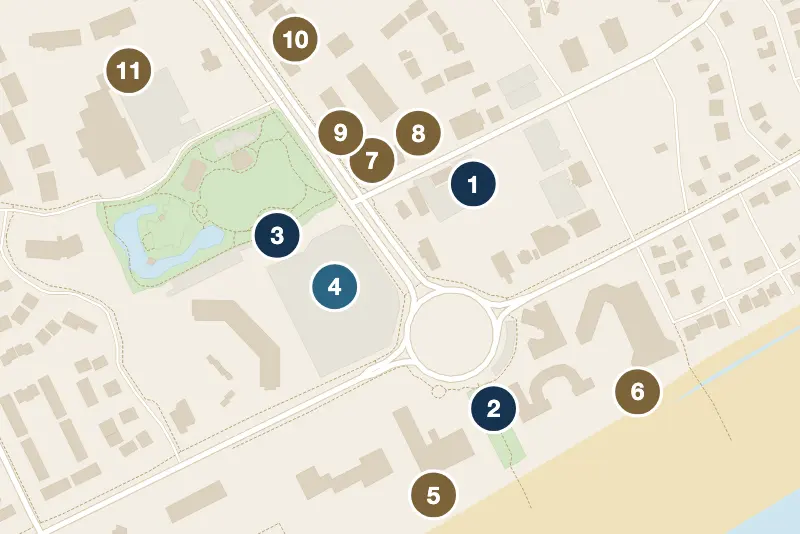
Coligny Plaza, Pope Avenue and the busiest public beach, the island’s walkable center.
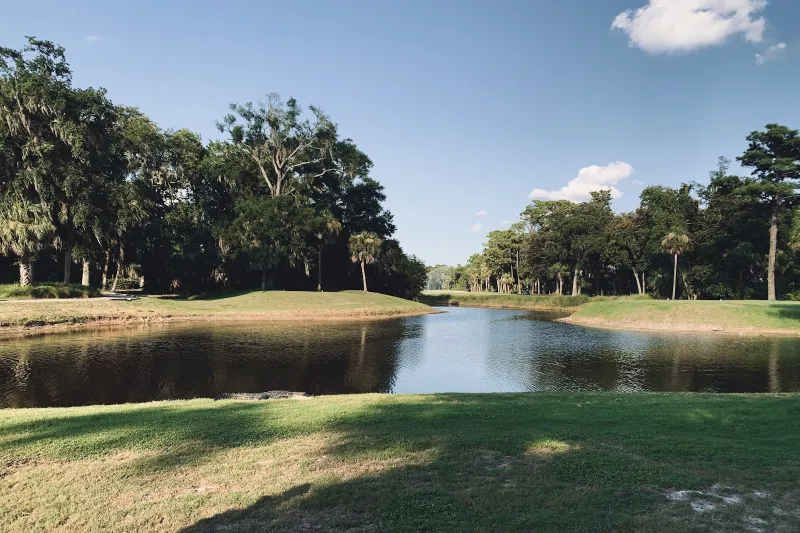
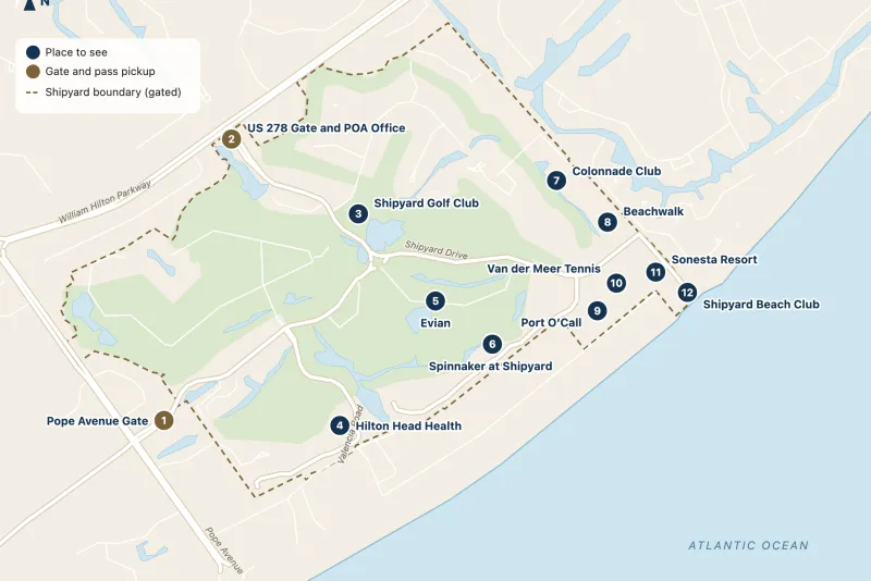
A gated resort community between Coligny and Palmetto Dunes, with its own beach club and golf.
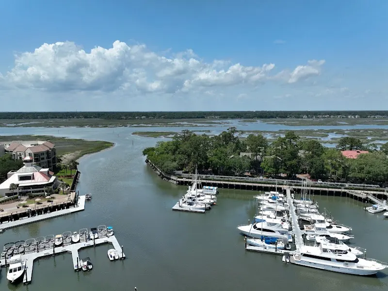
The harbour, the Towne Centre and the community park on Broad Creek, where both trolley routes meet.
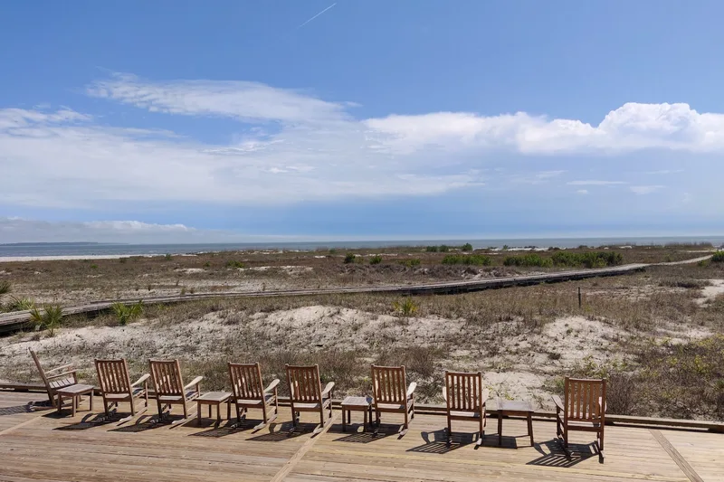
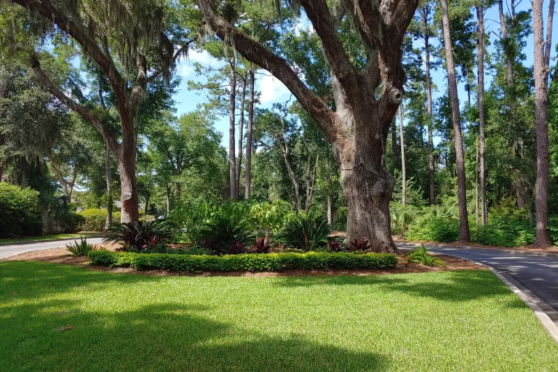
The large gated community at the island’s north end, with golf, marsh and Skull Creek.
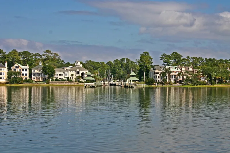
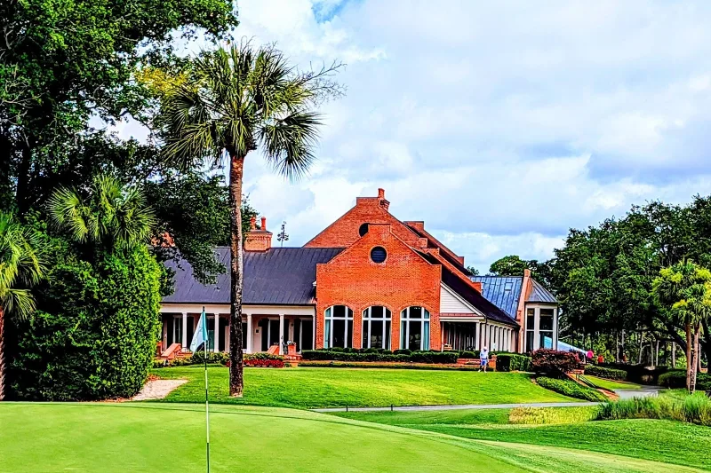
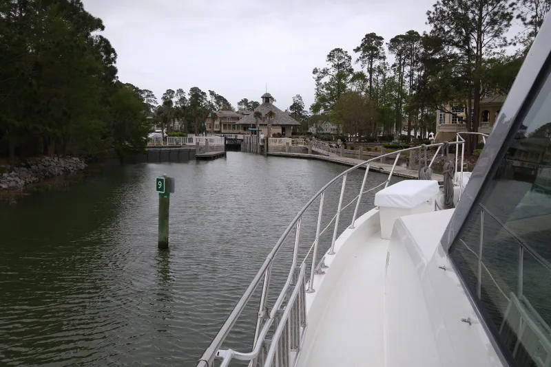
Most visitors stay along the ocean side, between Sea Pines and Folly Field: Sea Pines, Forest Beach and Coligny, Shipyard, Palmetto Dunes and the Folly Field resorts. The north end and the land along Broad Creek and Skull Creek are mostly gated residential communities. Several, including Sea Pines, Shipyard and Palmetto Dunes, have a gate: renters and hotel guests get a pass, and day visitors to Sea Pines pay a gate fee. All of them are compared on Hilton Head neighborhoods.
Printable Community and Resort Maps
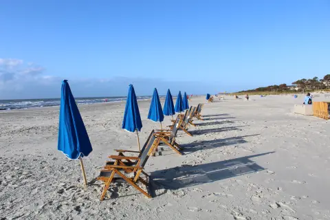
Every public beach and beach access, with parking, restrooms and the dog rules. Printable.
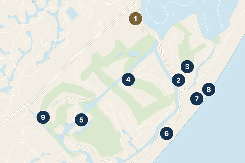
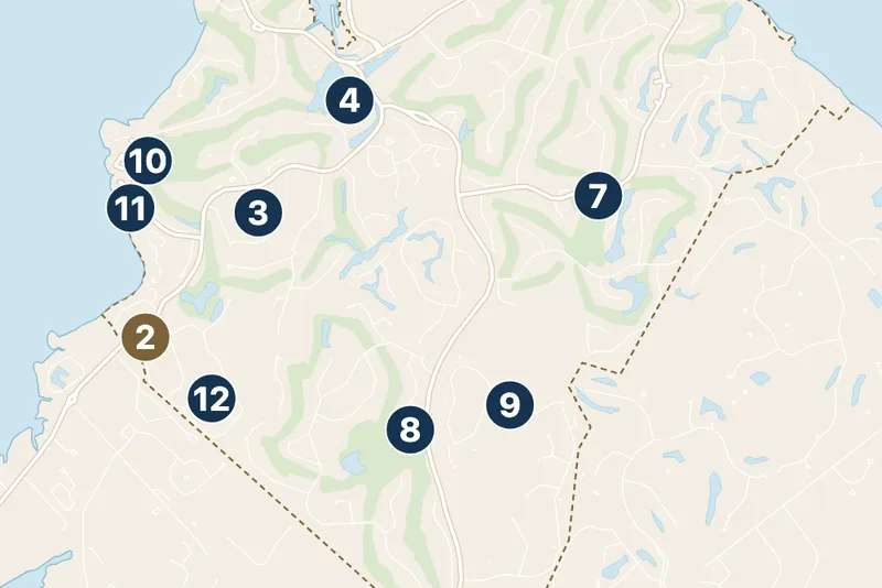
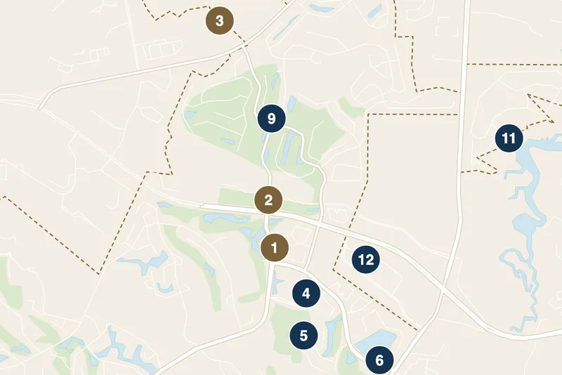
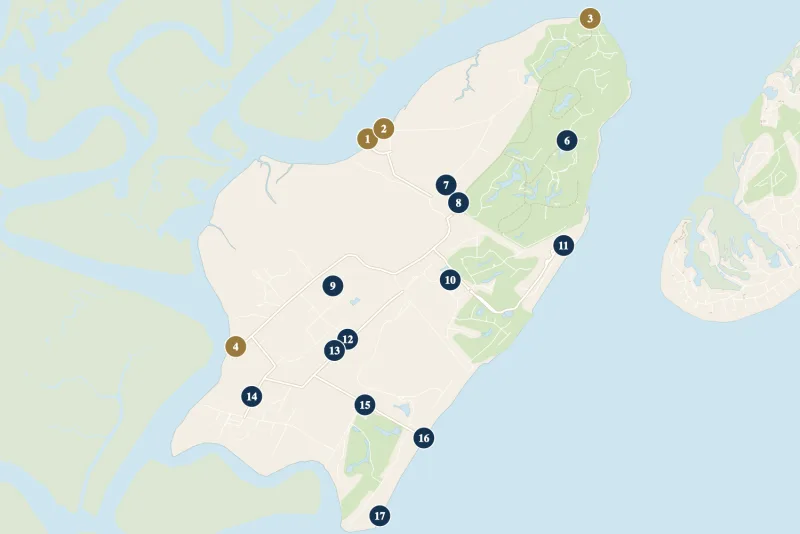
Hilton Head Island Beaches Map: Every Public Beach
| Beach (south to north) | What it is | Parking |
|---|---|---|
| Sea Pines Beach Club | Inside Sea Pines (gate fee) | Sea Pines residents & rental guests only |
| Alder Lane Beach Access | Town beach park | 22 paid spaces |
| Coligny Beach Park | Town beach park | Free lot |
| Singleton Beach | Public access, no facilities | No public lot |
| Burkes Beach Access | Town beach park | 246 paid spaces |
| Driessen Beach Park | Town beach park | 168 paid spaces |
| Folly Field Beach Park | Town beach park | 51 paid spaces |
| Islanders Beach Park | Town beach park | 25 paid spaces |
| Fish Haul Beach Park | Town beach park | 93 paid spaces |
| Forest Beach | Public stretch, no park | No public lot |
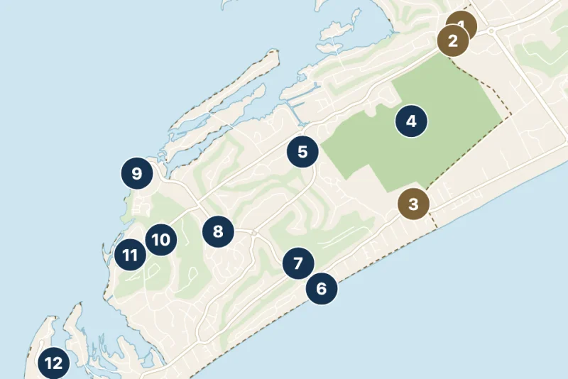
The island’s whole Atlantic side is beach, about 12 miles of it, and every stretch is public up to the high-tide line. What changes is how you reach it: the Town’s beach parks (the sand-colored dots on the map) have parking, restrooms and showers, while the resort communities’ beach accesses are for people staying inside. Our printable Hilton Head beach map shows every public beach access point with its parking, and lot rates are on Hilton Head parking.
Map of Hilton Head Island Golf Courses
| Area | Courses open to visitors | Private clubs |
|---|---|---|
| Sea Pines | Harbour Town Golf Links, Heron Point, Atlantic Dunes | Sea Pines Country Club |
| Shipyard | Shipyard Golf Club | |
| Palmetto Dunes | Robert Trent Jones, George Fazio, Arthur Hills | |
| Indigo Run | Golden Bear Golf Club | The Golf Club at Indigo Run |
| Port Royal | Barony and Robber’s Row | |
| Palmetto Hall | Arthur Hills and Robert Cupp courses | |
| Hilton Head Plantation | Oyster Reef, Dolphin Head, Bear Creek | Country Club of Hilton Head |
| Long Cove and Wexford | Long Cove Club, Wexford Golf Club |
Hilton Head’s golf courses sit inside its communities, which is why there are clusters of them on any map of Hilton Head golf courses: three in Sea Pines, three in Palmetto Dunes, three in Hilton Head Plantation. Harbour Town Golf Links, home of the RBC Heritage, is at the south tip by the lighthouse; Shipyard and the Palmetto Dunes courses are mid-island near the beach; Oyster Reef and Dolphin Head are up at the north end. Every course, with tee times and scorecards, is on Hilton Head golf courses; Bluffton and the mainland add more than 20 more.
Tourist Map of Hilton Head Island: Harbour Town, Coligny and Shelter Cove
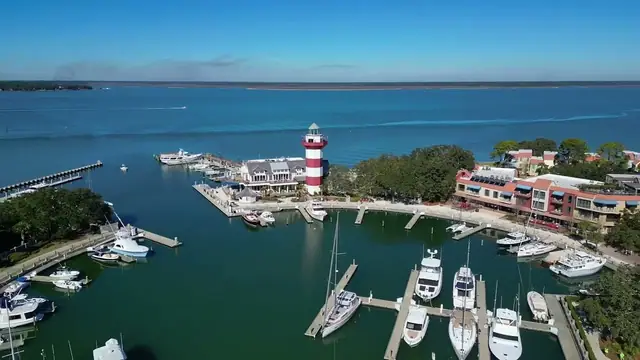
The lighthouse, the yacht basin and the shops inside Sea Pines, at the island’s southwest tip.

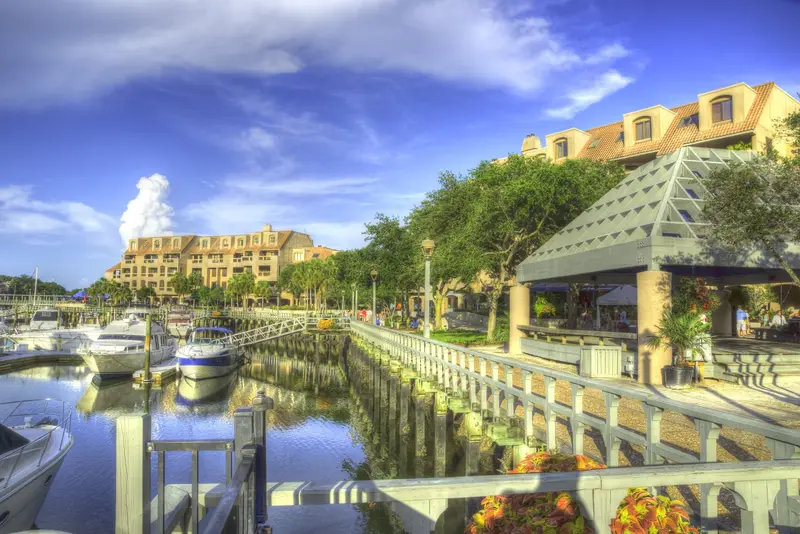
Three places do most of the work on a tourist map of Hilton Head. Harbour Town, inside Sea Pines, is the red-and-white lighthouse and the marina; a Harbour Town map starts at the Sea Pines gates, so see the Sea Pines map to find it. Coligny is the beach town at the end of Pope Avenue. Shelter Cove is the harbour and shopping center mid-island, and the hub of the free Breeze trolley. For a restaurant map, our Hilton Head dining guide groups places by area, and the downtown Hilton Head map pins everything around Coligny.
Hilton Head Directions: Driving onto the Island
There is one road onto the island: US 278, over the bridges from Bluffton. From I-95, take exit 8 and follow US 278 east through Bluffton to the bridges. Once over, the road splits. The Cross Island Parkway (US 278) is the fast way to the south end: it crosses Broad Creek and, by way of Palmetto Bay Road, reaches Sea Pines Circle, by Sea Pines and Coligny. William Hilton Parkway (US 278 Business) is the long way round past the airport, Folly Field, Palmetto Dunes and Shelter Cove, and meets the parkway again at Sea Pines Circle. Pope Avenue runs from the circle to Coligny and the beach.
The Savannah airport is about 39 miles from the bridges, roughly 50 minutes; the island’s own airport is just off William Hilton Parkway at the north end. Turn-by-turn drives from Savannah, Charleston, Atlanta and Charlotte are on getting to Hilton Head, and the ways to get around once you’re here are on getting around Hilton Head.
Hilton Head on a Map of South Carolina
Where is Hilton Head, South Carolina, on the map? On the state’s southern tip, in Beaufort County, just across the Georgia line from Savannah (about an hour’s drive) and about two hours’ drive south of Charleston. It is one of the Lowcountry’s sea islands, with Port Royal Sound to the north, Calibogue Sound and Daufuskie Island to the west, and the Atlantic to the east. Bluffton, across the bridges, is where most of the year-round workforce lives. For the day trips within reach, see day trips from Hilton Head.
Frequently Asked Questions
Is there a printable map of Hilton Head Island?
Yes. Use “Print this map” under the map at the top of this page. For the beaches, our printable beach map adds parking, restrooms and dog rules; Sea Pines, Shipyard, Palmetto Dunes and Hilton Head Plantation each have their own map.
What are the main areas of Hilton Head Island?
From south to north along the beach: Sea Pines, Forest Beach and Coligny, Shipyard, Palmetto Dunes, Folly Field and Port Royal. Shelter Cove sits on Broad Creek mid-island, and Hilton Head Plantation covers the north end.
How big is Hilton Head Island?
About 12 miles long and up to 5 miles wide, with roughly 12 miles of beach on the Atlantic side.
How do you get onto Hilton Head Island?
By US 278 over the bridges from Bluffton. From I-95, take exit 8 and follow US 278 east through Bluffton.
Where is Harbour Town on the map?
At the southwest tip of the island, inside Sea Pines, on Calibogue Sound. Day visitors pay the Sea Pines gate fee to drive in.
Local guides like this come standard for Guests of Partner Properties — one small part of what a Partner Property gives every guest.
Book Partner Properties