
Daufuskie Island History and Gullah Heritage
Pat Conroy called it Yamacraw. Long before and after him, Daufuskie was a Gullah island of farmers, oystermen and churchgoers, and their churches, schools and graveyards still line its sand roads.
Daufuskie Island history runs from the Native people who named it, through eleven plantations and the Gullah community that grew out of them, to the oyster boom, a famous schoolteacher and the resorts of the 1980s. Because the island has never had a bridge, more of that past is still standing here than almost anywhere on the coast, and most of it is a short cart ride apart. For planning the trip itself, see our Daufuskie Island guide.
Yamacraw Island: Pat Conroy and The Water Is Wide
In 1969 a young teacher named Pat Conroy took the job at the Mary Field School, the island’s two-room school for its Black children, and taught there for the 1969-70 school year. His book about that year, The Water Is Wide (1972), changed the island’s name to Yamacraw, and Hollywood filmed it in 1974 as Conrack, with Jon Voight as the teacher.
So Yamacraw Island is Daufuskie: there is no other island of that name to visit. The school still stands on School Road, and one of the children in Conroy’s class, Sallie Ann Robinson, grew up to write about the island’s food and now shows visitors around it.
Daufuskie Island Gullah Heritage
The Gullah Geechee people are the descendants of West and Central Africans who were enslaved on the rice, Sea Island cotton and indigo plantations of the coast from North Carolina to Florida. On isolated islands like this one they kept many of their African ways, and made a language of their own, Gullah. Congress recognized that history in 2006 with the Gullah Geechee Cultural Heritage Corridor, which runs the length of that coast.
When Union troops took the Beaufort islands early in the Civil War, Daufuskie’s planters fled and the people they had enslaved stayed. Their families farmed, fished and worked the oyster beds, built their own churches and, in the 1930s, their own school. Sarah Grant, whose 1910 house is on the island’s heritage trail, served as its midwife and its undertaker. The community’s own voices are the best guides to it: Sallie Ann Robinson, a sixth-generation Gullah native born in her family’s house on the island, tells it in her cookbook, Gullah Home Cooking the Daufuskie Way, and on her tours; the Daufuskie Island Historical Foundation keeps the island’s museum and archives.
Cotton, Indigo and Oysters
After the Revolution the island’s plantations grew Sea Island cotton, the long-staple kind European mills paid most for, and indigo was a Lowcountry plantation crop too; it still grows wild here, and Daufuskie Blues dyes cloth with it in the old Mary Field School.
The oysters came next. In the 1880s an Italian immigrant, L.P. Maggioni, leased the beds and opened an oyster house, and his company ran a cannery at the public dock from 1883 to 1903; by 1900 two to three thousand people lived on the island. The oyster workers founded a mutual-aid society whose hall, the Oyster Union Society Hall, the Historical Foundation bought in 2002 and now fills with an exhibit. When pollution closed the beds in the 1950s the work went, and the population fell with it. In the 1980s developers built Haig Point, Melrose and Bloody Point, which is why the island has gates and golf courses as well as Gullah graveyards.
Visiting Yamacraw Island, SC: The Historic Sites
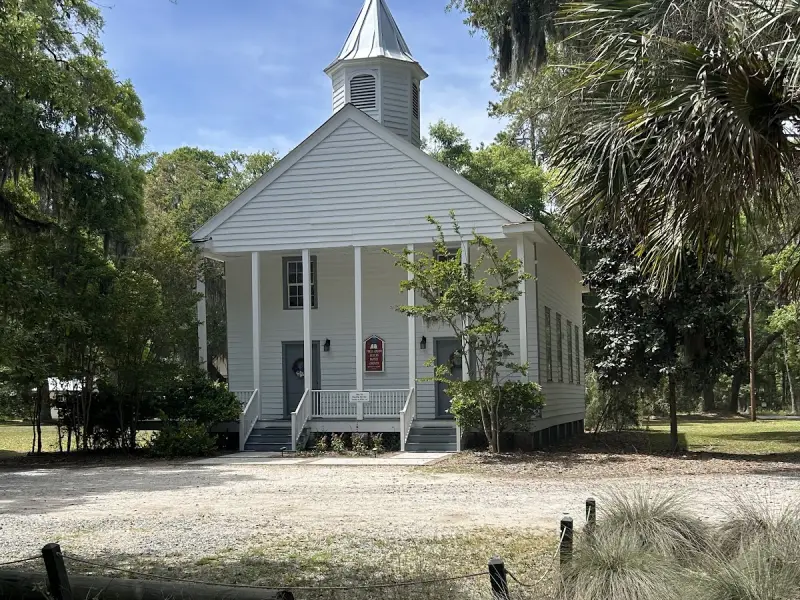
Built in 1884 on the site of the island’s first Black church, and still holding services. A replica Gullah praise house stands behind it.
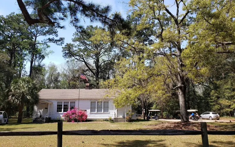
The two-room school the island’s church families built and opened in 1934, where Pat Conroy taught in 1969 and 1970.
Most of the island’s historic district, on the National Register since 1982, is along a few sand roads in the middle of the island. First Union African Baptist Church was built in 1884, beside the site of the 1881 church that burned, and has changed little since; its congregation first held school for the island’s children too. The Mary Field School down the road opened in 1934; Frances Jones taught there from 1950 to 1969, Pat Conroy for the year after, and it closed in 1997. It is now a community building, with the Daufuskie Blues indigo studio inside.
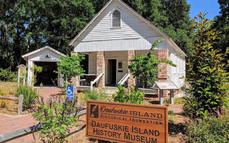
The Daufuskie Island History Museum is in Mt. Carmel Baptist Church No. 2, rebuilt after a 1940 hurricane and restored by the Daufuskie Island Historical Foundation in 2001; it is open 10 a.m. to 2 p.m. Among its collection are a copy of the 1735 royal land grant, an 1890s organ and an 11-foot alligator, and the Foundation publishes the map of the Rob Kennedy Historic Trail, a 20-stop loop that takes in the churches and schools, the Council Tree where men gathered after services, Civil War trenches uncovered in 2020, and the island’s graveyards: Mary Field Cemetery, the largest Gullah cemetery, and Mary Dunn Cemetery, with stones from 1790. The cemeteries are still in use, so walk them as you would any family’s.
The Bloody Point Lighthouse
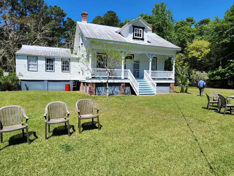
The island has two lighthouses. Haig Point’s, from 1873, is inside the private community on the north end. The Bloody Point Lighthouse, lit in 1883 at the south end, is a keeper’s house with the lamp in its dormer window; it is now a museum, and the Silver Dew Winery pours wine in its old oil house.
Seeing It With a Gullah Guide
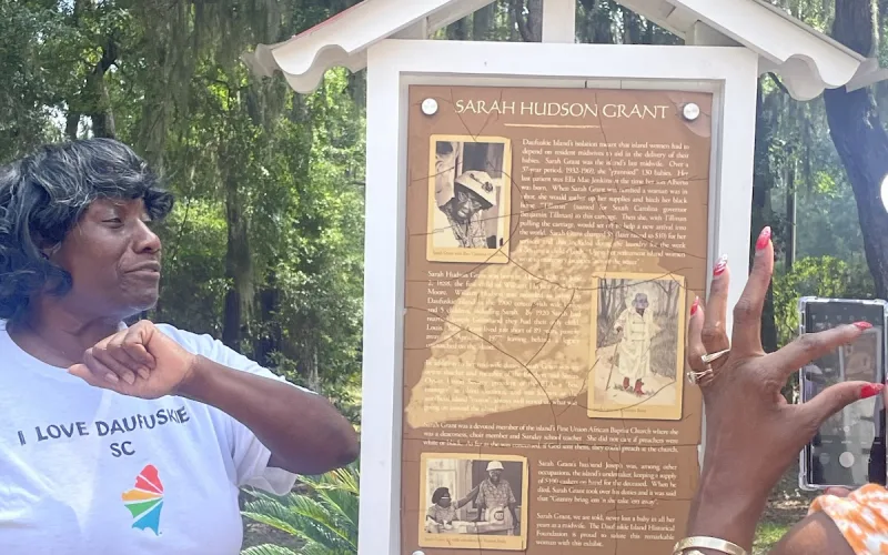
Three hours around the island’s Gullah sites with a sixth-generation native, starting from the Melrose dock.
Daufuskie Island tours from Hilton Head: guided boat and golf-cart trips to the Gullah church, Mary Field School and art studios, plus tours on the island.
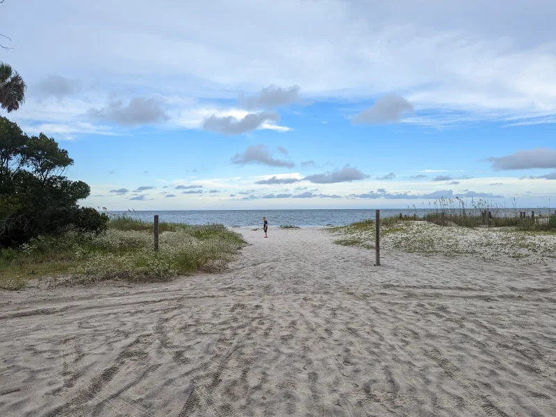
Daufuskie Island things to do: empty Atlantic beaches, horseback rides, Gullah history, a lighthouse winery, art studios and lunch at Freeport Marina.
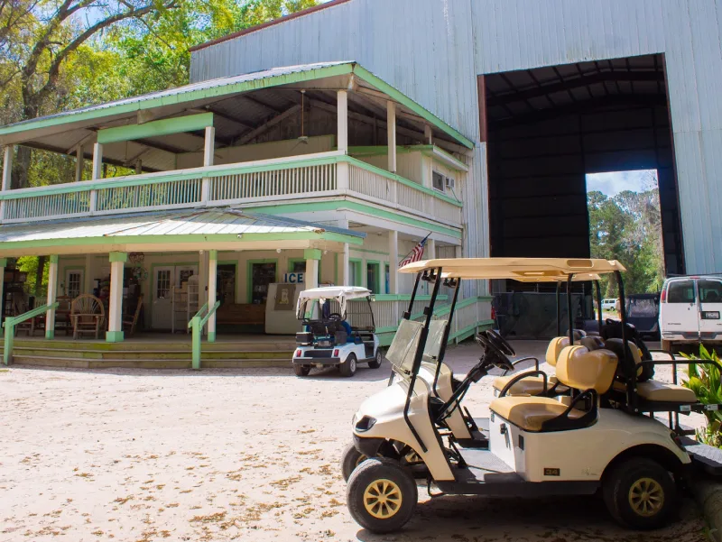
Freeport General Store and Daufuskie Island shopping: the island's general store, Daufuskie Blues indigo, Iron Fish metal art and the Glass House studio.
You can see the sites on your own with a cart and the trail map, but a guide who grew up here tells you what they meant. Sallie Ann Robinson’s tour meets the public ferry at the Melrose dock and runs about three hours; ferry tickets are separate. Several Hilton Head companies also run guided trips across that include the historic sites.
Frequently Asked Questions
Where is Yamacraw Island?
Yamacraw Island is Daufuskie Island, South Carolina: the name Pat Conroy gave it in The Water Is Wide. It lies between Hilton Head Island and Savannah, Georgia, in Beaufort County, and you reach it by boat from Hilton Head.
Is Yamacraw Island a real place?
Yes, under another name. Conroy changed Daufuskie’s name in his 1972 book, and the film Conrack kept the story. The Mary Field School where he taught still stands on the island.
Where did Pat Conroy teach on Daufuskie Island?
At the Mary Field School on School Road, a two-room school built by the island’s church families and opened in 1934. He taught there in the 1969-70 school year.
Who are the Gullah people of Daufuskie Island?
Descendants of West and Central Africans enslaved on the island’s plantations, who stayed after the Civil War and farmed, fished and worked the oyster beds. The island’s isolation kept their language, food and faith alive longer than on the mainland.
What historic sites can you visit on Daufuskie Island?
First Union African Baptist Church (1884), the Mary Field School, the Daufuskie Island History Museum, the Oyster Union Society Hall, several Gullah cemeteries and the Bloody Point Lighthouse. The museum’s trail map links 20 of them.
Why did Daufuskie Island’s population fall?
Pollution closed the oyster beds, the island’s main work, in the 1950s, and the population fell. Around 1900 two to three thousand people lived there; the 2020 census counted 557.
Local guides like this come standard for Guests of Partner Properties — one small part of what a Partner Property gives every guest.
Book Partner Properties